Exciting East Gippsland
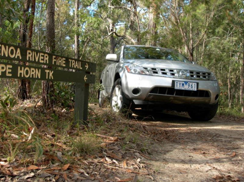
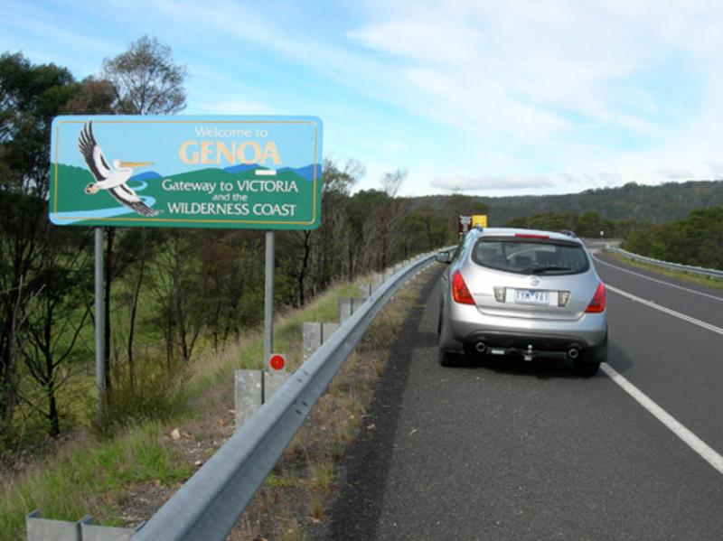
An often overlooked holiday/touring destination this region simply has the lot for four-wheel drivers, fishermen and some of the best camping spots to boot. The area north and east of Sale about midway between Melbourne and Mallacoota - Victoria's most easterly town - has a host of four-wheel drive opportunities, trails that trek through magnificent forest and many historic links.
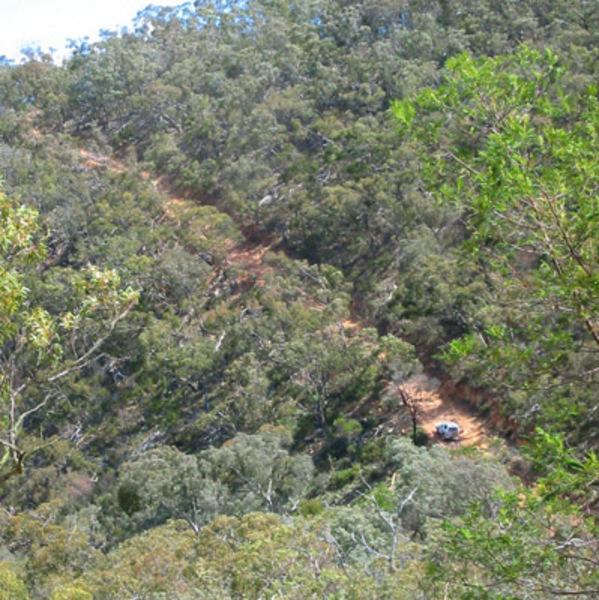
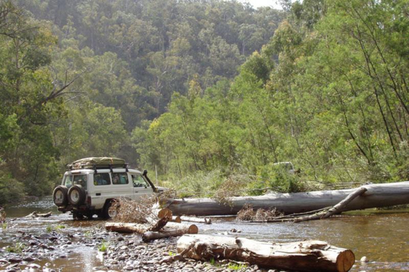
North from Orbost is the Snowy River Drive, which heads to the heart of the Snowy River country. The 300km tour is of medium standard and to be best enjoyed should be broken into a 2-3 day trip. Under Victoria's 4WD Recreational Track Classification System it is rated as difficult, but with care and preparation no one should have any difficulty. The first section of the drive is a 104km leg from Orbost to Gelantipy, passing through Buchan, well known for its spectacular caves. From Gelantipy you continue north and take a right fork onto McKillop Road to Little River Falls. The road descends into the Snowy River valley in quite dramatic fashion, and affords stunning scenery, but if you are afraid of heights, this section of the drive probably won't appeal, as it is clings to the side of a steep mountain as it descends to McKillop Bridge and Snowy River campground.
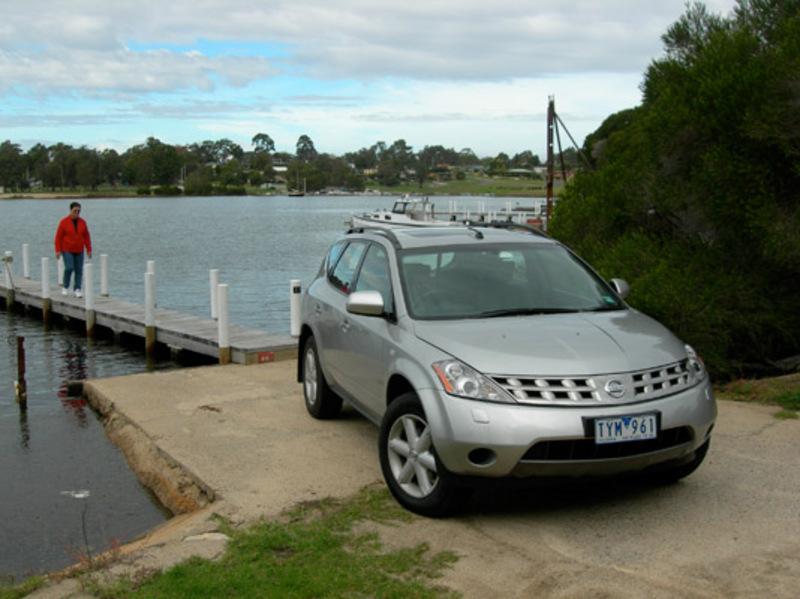
Here there are wide sandy beaches and shallow rock pools, making it an ideal stopover on a summer's day. It is also a favourite canoe-launching place for adventurers wanting to explore the dramatic gorges downstream. A number of walking trails also depart from the area.
From here the options are to cross into NSW and make your way across to the coast, or to continue on the touring loop back to Orbost, a distance of 151kms. This drive continues into the eastern section of the Snowy River National Park along Bowen Track to Mt Bowen and south to Waratah Flat campground.
The road winds south through imposing forest, with another camping spot at Hicks campground. South to Raymond Creek Falls and along Yalmy Road and Garnetts Track to Orbost.
Further east Highway 1 leads to Coopracambra National Park and Croajingalong National Park which runs south of the highway along the coast from Tamboon Inlet to the Victoria/NSW State border at Cape Howe east of Mallacoota.
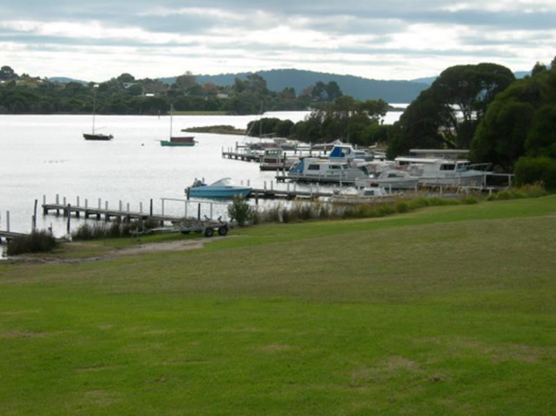
This section of park offers great fishing at Point Hicks, Wingan Inlet and Mallacoota along with camping and touring opportunities. There are many 4x4 tracks in the area - of various difficulty - and as the area is relatively remote only venture down such tracks if your vehicle is fully prepared and you are travelling with another vehicle.
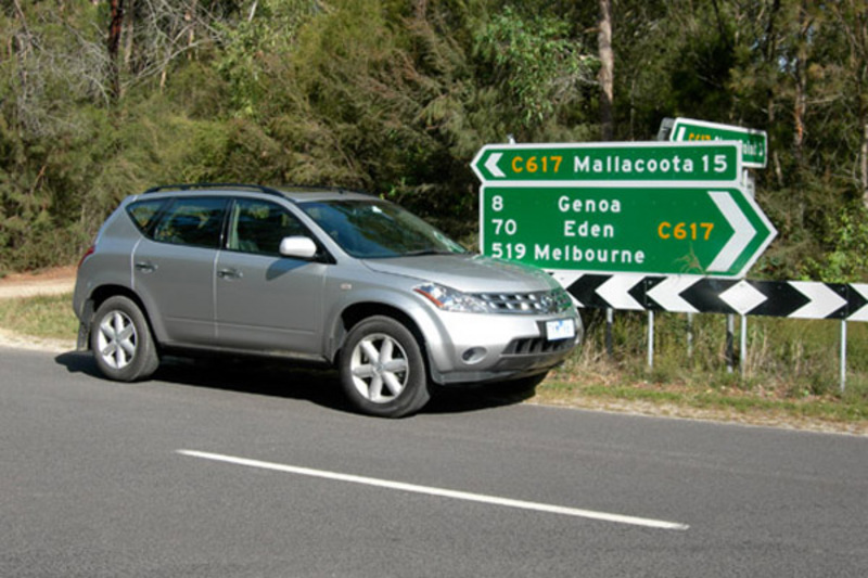
Interesting drives in the area include the trek south from the Princes Highway just past Cann River. Take the West Wingan Road, then the Wingan Link Road across to the intersection of the Stony Peak Road and Betka Track. Here you can either head straight on to arrive at Genoa Peak, or take Betka Track, which winds down to Shipwreck Creek on the coast. From here is a short drive to Mallacoota. The total drive is about 80kms and is of easy standard.
Drummer Road leads north, again commencing east of Cann River on the Princes Highway and heads north into the Coopracambra National Park. This is rated as a 4WD only trek, although it is an easy one. The trip is about 60kms and includes walks to Beehive Falls, Mealing Hill helipad and Yambulla walking track.
The good news is that there is plenty of published information available at information centres in the region that outline the areas and treks that I have mentioned in detail along with maps. Do yourself a favour, pick up the latest touring information and be prepared to have a great time in East Gippsland.